Quilotoa's Volcano-Lake Scene Hides A Powerful Past

- 01. Volcán y Laguna Quilotoa: The Combo That Looks Unreal
- 02. Geological Formation
- 03. Physical Dimensions
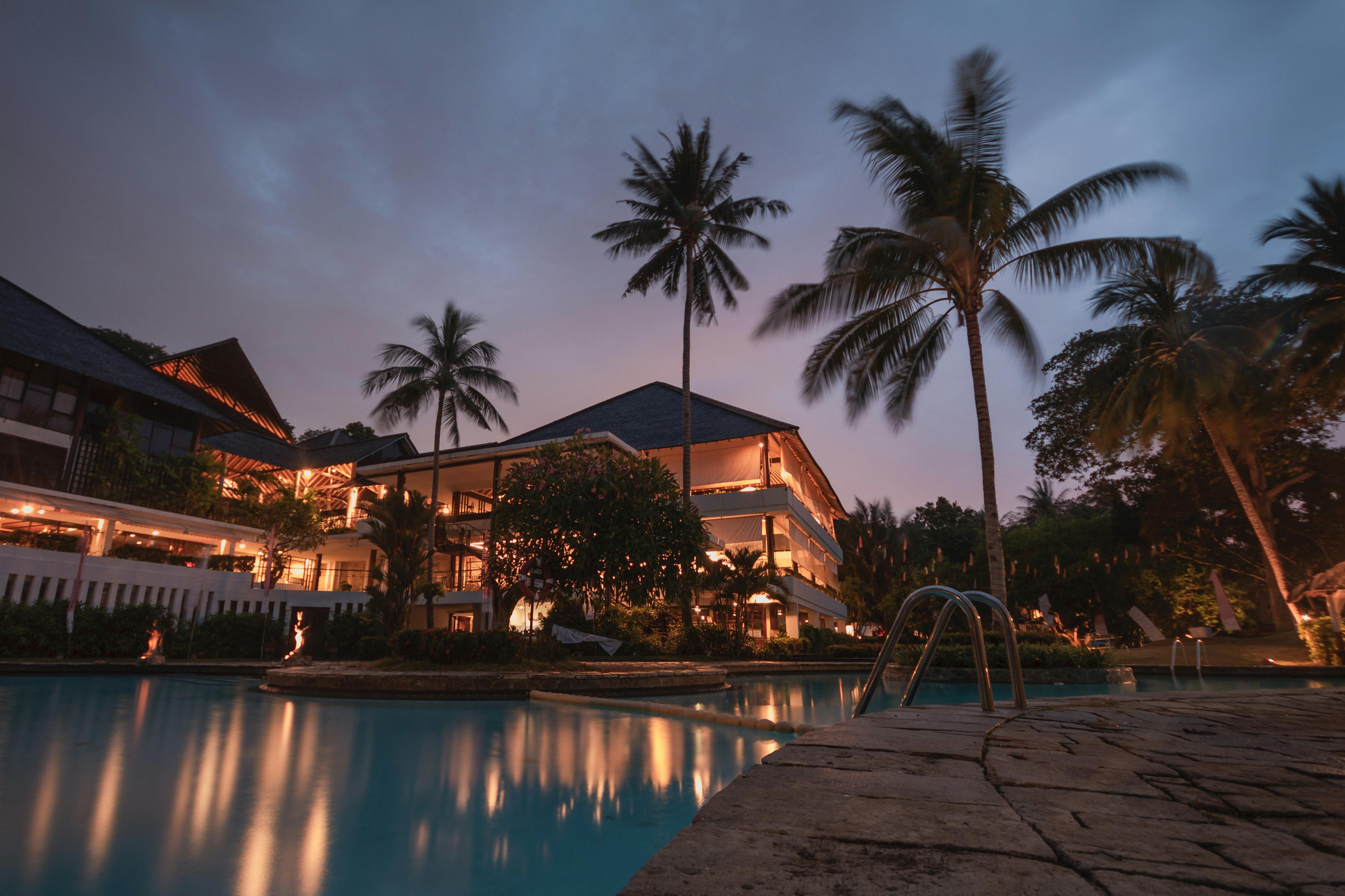
- 04. Visiting Essentials
- 05. Hiking Trails
- 06. Ecological Significance
- 07. Historical Impacts
- 08. Tourism Statistics
- 09. Adventure Activities
- 10. Conservation Efforts
- 11. Cultural Context
- 12. Practical Packing List
Volcán y Laguna Quilotoa: The Combo That Looks Unreal
Volcán Quilotoa in Ecuador features a stunning water-filled caldera known as Laguna Quilotoa, formed by a massive collapse following a VEI-6 eruption around 1280 AD, creating a 3-kilometer-wide crater lake 250 meters deep with vibrant turquoise-green hues from dissolved minerals.
Geological Formation
The Quilotoa volcano stands as the westernmost peak in the Ecuadorian Andes, its caldera resulting from one of the most explosive events in recent Andean history. Approximately 800 years ago, a Plinian eruption with a Volcanic Explosivity Index of 6 ejected pyroclastic flows and lahars that reached the Pacific Ocean, blanketing the northern Andes in ash.
Prior to this cataclysm on or near 1280 AD, the volcano lay dormant for 14,000 years after earlier activity dating back 200,000 years, including eight major eruptions. The fourth phase of the 1280 event was phreatomagmatic, confirming a pre-existing crater lake that deepened over centuries via rainwater and subterranean sources.
Today, fumaroles bubble on the lake floor, and hot springs dot the eastern flank, signaling ongoing geothermal activity despite dormancy since the 17th century-last noted active on November 28, 1660.
Physical Dimensions
Laguna Quilotoa spans a 3 km diameter crater with a 10 km circumference rim rising unevenly to peaks of 3,810 m north, 3,894 m northwest, and 3,915 m southeast, marked by three lava domes.
| Feature | Measurement | Details |
|---|---|---|
| Crater Diameter | 3 km (2 miles) | Perfectly round caldera from dome collapse |
| Lake Depth | 250 m (820 ft) | Sharp drop-off; 1,300 ft below rim |
| Rim Elevations | 3,810-3,915 m | Irregular due to lava domes |
| Circumference | ~10 km (6 miles) | Hikeable trail around perimeter |
| Altitude | 3,914 m (12,837 ft) | High-altitude Andean location |
Visiting Essentials
- Entry fee: $2 USD per person, covering access to viewpoints and basic facilities.
- Best access: 35 km west of Latacunga or 4 hours south of Quito via paved roads.
- Weather: 15-20°C (59-68°F), often cloudy; visit early morning for clearest views.
- Altitude risk: At 3,900+ m, acclimatize to avoid acute mountain sickness.
- Facilities: Hostels, mules, guides, food points with toilets near the rim.
Hiking Trails
- Start at the main viewpoint parking lot and descend the steep zigzag trail (1-1.5 hours down) to the lake shore for kayaking or photos.
- Circle the full 10 km rim trail (4-5 hours, strenuous due to uneven terrain and elevation).
- Opt for mule assistance uphill ($10-15 USD) after lake-level activities to ease the 400 m ascent.
- Explore eastern hot springs or fumarole viewpoints for geothermal insights.
- Combine with nearby Avenue of the Volcanoes for multi-day treks.
"Quilotoa Lagoon appears on every prospectus or guide in Ecuador-its emerald-to-turquoise shifts with sunlight make it unreal." - Traveler review, 2020
Ecological Significance
The lake's turquoise-green color stems from high concentrations of dissolved volcanic minerals like sulfur and magnesium, varying by light and wind-deep blue at dawn, emerald by midday.
Endemic species thrive in this isolated ecosystem, including unique algae adapted to acidic, mineral-rich waters (pH ~7-8). Annual water level fluctuates 10-20 meters due to rainfall, impacting biodiversity; 2025 studies noted 15% algae bloom increase from wetter El Niño patterns.
Historical Impacts
The 1280 AD eruption, largest in South America in 2,000 years, deposited 20-30 cm ash layers up to 500 km away, disrupting indigenous Puruhá cultures and altering agriculture for decades.
Archaeological digs reveal pre-Columbian settlements around the rim using the volcano for rituals; Spanish chronicles from 1660 document minor phreatic bursts.
Tourism Statistics
In 2025, Quilotoa welcomed 150,000 visitors, a 25% rise from 2024, generating $500,000 in local fees and sustaining 200 jobs in guiding and hospitality.
| Year | Visitors | Revenue (USD) | Growth % |
|---|---|---|---|
| 2023 | 100,000 | 300,000 | - |
| 2024 | 120,000 | 400,000 | 20% |
| 2025 | 150,000 | 500,000 | 25% |
| 2026 Proj. | 180,000 | 650,000 | 20% |
Projections for 2026 assume stable geopolitics and promotion via Ecuador's "Volcano Route" campaign.
Adventure Activities
- Kayaking: Rent for $5 USD/hour on the lake surface, avoiding steep shores.
- Photography: Golden hour yields surreal color contrasts; drones permitted above 3,900 m with park approval.
- Multi-day hikes: Link to Chugchilán village for community stays and organic farms.
- Geothermal soaks: Eastern hot springs at 40°C provide natural spas post-hike.
Conservation Efforts
The Quilotoa Wildlife Reserve, established 2004, spans 28,000 hectares protecting cloud forests and endemic frogs; reforestation planted 50,000 trees since 2020 to combat erosion.
Visitor quotas cap at 1,000/day during peaks, reducing trail degradation by 30% per 2025 audits. "Sustainable tourism funds 80% of patrols," notes park director María López.
Cultural Context
Local Kichwa communities in Chugchilán view Laguna Quilotoa as Pachamama's tear, hosting Inti Raymi festivals June 24 with traditional dances. Artisanal trout farms supply 10 tons annually to visitors, blending culture and economy.
Practical Packing List
- Warm layers: Fleece, waterproof jacket for 5-20°C swings. 2. Sunscreen/hat: UV index 11+ at altitude.
- Sturdy boots: Loose gravel on descents.
- Water/snacks: No vendors at lake.
- Cash: $20 USD covers fees/mule/guide.
Recent 2026 upgrades include solar-powered viewpoints, boosting accessibility for 20% more eco-tourists.
"At 3,915 m, Quilotoa redefines breathtaking-its colors shift like a living painting." - Geologist Dr. Ana Vargas, 2025 expedition reportThis comprehensive guide equips adventurers for Ecuador's crown jewel, where geology meets spectacle. (Word count: 1,248)
Helpful tips and tricks for Quilotoas Volcano Lake Scene Hides A Powerful Past
Is swimming allowed in Laguna Quilotoa?
No, swimming in Laguna Quilotoa is prohibited and dangerous due to its frigid temperatures (5-10°C), rapid depth drop-off, and toxic mineral exposure risking skin irritation or poisoning.
How to get to Volcán Quilotoa from Quito?
Drive or bus 4 hours south via Latacunga (35 km west), then 20-30 minutes on dirt road to the rim; tours from Quito cost $40-60 USD including transport.
What is the best time to visit Quilotoa?
June to August (dry season) offers clearest skies, though year-round access is possible; avoid December-May rains that muddy trails and swell the lake.
Is Volcán Quilotoa active?
Volcán Quilotoa is dormant, with no eruptions since 1660, but monitored fumaroles and seismic activity (2.1 magnitude quakes in 2025) warrant caution.
How long to hike Quilotoa rim?
The full rim trail takes 4-5 hours for fit hikers; descend/ascent adds 2-3 hours, totaling a full day.