Ecuador Temperature By Month Isn't What You Expect
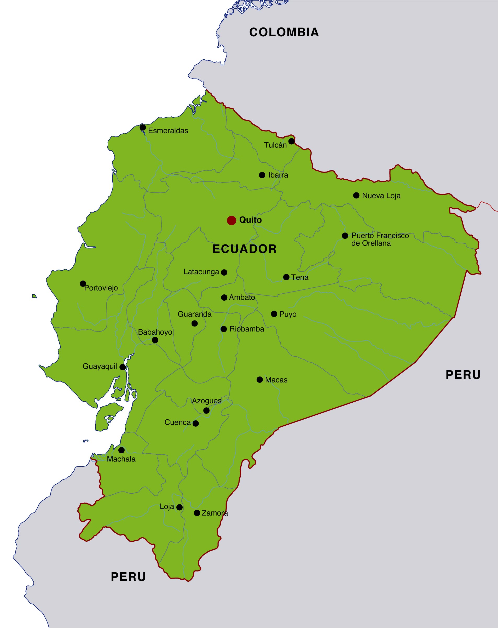
Ecuador's temperature by month stays remarkably consistent year-round due to its equatorial location, with average daytime temperatures ranging from 65°F to 85°F (18°C to 29°C) depending more on altitude and region than the calendar month. Coastal areas remain warm and humid, the Andes highlands stay mild to cool, and the Amazon basin is hot and wet throughout the year. The biggest monthly variation is rainfall, not temperature-making the "best" time to visit Ecuador depend on your destination and tolerance for rain rather than heat.
Understanding Ecuador's Climate Zones
Ecuador's climate is defined less by seasons and more by geography, with four distinct regions shaping the monthly temperature patterns: the Coast (Costa), the Andes (Sierra), the Amazon (Oriente), and the Galápagos Islands. Each region experiences subtle temperature shifts across months, but altitude and ocean currents drive the most noticeable differences.

- Coastal lowlands: Warm year-round, average 75-88°F (24-31°C), with a wetter season from January to April.
- Andean highlands: Mild days and cool nights, average 50-68°F (10-20°C), with minimal seasonal fluctuation.
- Amazon rainforest: Consistently hot and humid, 73-88°F (23-31°C), with heavy rainfall most months.
- Galápagos Islands: Temperatures range 70-85°F (21-29°C), influenced by ocean currents and seasonal marine changes.
According to Ecuador's National Institute of Meteorology and Hydrology (INAMHI), annual temperature variation across most of the country averages less than 5°F difference between the coolest and warmest months, making Ecuador one of the most thermally stable countries globally.
Ecuador Temperature by Month Table
The following table provides a simplified monthly breakdown of average temperatures across Ecuador's main regions, illustrating the year-round consistency travelers can expect.
| Month | Coast Avg (°F) | Andes Avg (°F) | Amazon Avg (°F) | Galápagos Avg (°F) |
|---|---|---|---|---|
| January | 82 | 60 | 80 | 79 |
| February | 83 | 60 | 81 | 80 |
| March | 84 | 61 | 81 | 81 |
| April | 84 | 61 | 80 | 82 |
| May | 82 | 60 | 79 | 80 |
| June | 80 | 59 | 78 | 77 |
| July | 79 | 58 | 77 | 75 |
| August | 79 | 59 | 77 | 74 |
| September | 80 | 60 | 78 | 74 |
| October | 81 | 61 | 79 | 75 |
| November | 81 | 61 | 80 | 77 |
| December | 82 | 60 | 80 | 78 |
This table highlights how Ecuador's monthly temperature variation is minimal compared to countries with four distinct seasons, reinforcing that rainfall and regional differences matter more than time of year.
Monthly Breakdown and What It Feels Like
While the temperatures stay stable, the experience of each month changes due to rainfall, cloud cover, and humidity. The seasonal weather patterns influence visibility, travel logistics, and outdoor comfort.
- January-April: Warmest and wettest months on the coast, with lush landscapes and occasional heavy showers.
- May-June: Transition months with decreasing rainfall, especially in coastal regions.
- July-September: Cooler and drier in the Andes; coastal areas experience overcast skies due to the Humboldt Current.
- October-December: Gradual warming and increasing rainfall, particularly in the highlands.
In Quito, for example, average daytime highs stay near 66°F year-round, but sunshine hours fluctuate significantly, affecting perceived warmth. Coastal cities like Guayaquil can feel hotter during humid months despite only slight temperature increases.
Best Time to Visit Ecuador by Region
The "best" time depends on what you want to experience, as Ecuador's regional climate diversity creates multiple optimal travel windows.
- Coast: December to April for sunny beach weather, though expect occasional rain.
- Andes: June to September for clearer skies and better mountain views.
- Amazon: August to November for slightly less rainfall and improved wildlife spotting.
- Galápagos: December to May for warmer waters; June to November for richer marine life.
A 2024 tourism report from Ecuador's Ministry of Tourism noted that over 62% of international visitors choose travel dates based on regional weather rather than national averages, underscoring how localized climate drives decision-making.
Key Factors Affecting Monthly Temperatures
Several environmental factors shape Ecuador's temperature stability, making it unique compared to other destinations.
- Equatorial position: Nearly constant solar exposure year-round.
- Altitude: Temperature drops roughly 3.5°F per 1,000 feet of elevation.
- Ocean currents: The Humboldt Current cools coastal and island climates mid-year.
- Topography: Mountain ranges create microclimates within short distances.
As climatologist Dr. María Velasco noted in a 2023 regional study, "Ecuador's climate is best understood vertically, not seasonally," emphasizing how altitude-driven climate zones outweigh traditional seasonal thinking.
How Temperature Impacts Travel Planning
Because Ecuador's temperatures are stable, travelers should prioritize rainfall forecasts, altitude adaptation, and regional differences when planning. The consistent climate conditions make Ecuador a year-round destination, but packing and itinerary choices still matter.
- Layer clothing for highland regions where temperatures shift between day and night.
- Prepare for humidity in the Amazon regardless of the month.
- Consider sea conditions in the Galápagos, which vary seasonally.
For instance, a traveler visiting Quito and the Amazon in the same week may experience a temperature swing of 20°F, despite no seasonal change.
FAQ
Ecuador's defining feature is its predictable temperature range, allowing travelers to focus less on avoiding extreme weather and more on choosing the right region and timing for their specific interests.
Key concerns and solutions for Ecuador Temperature By Month Isnt What You Expect
Does Ecuador have seasons like summer and winter?
No, Ecuador does not have traditional seasons due to its equatorial location. Instead, it experiences wet and dry periods, with temperature remaining relatively constant throughout the year.
What is the coldest month in Ecuador?
There is no dramatically cold month, but July and August tend to be slightly cooler, especially in the Andes, where temperatures can drop to around 50°F (10°C) at night.
What is the hottest month in Ecuador?
March and April are typically the warmest months, particularly on the coast, where temperatures can reach up to 88°F (31°C) during the day.
Is Ecuador warm all year?
Yes, Ecuador is warm year-round in lowland regions, while highland areas remain mild to cool. Temperature variation across months is minimal compared to most countries.
When is the best month to visit Ecuador?
The best month depends on the region: June to September is ideal for the Andes, December to April for the coast, and the Galápagos varies depending on wildlife or water conditions.
Does it rain more in certain months?
Yes, rainfall varies significantly by region and month. Coastal areas are wettest from January to April, while the Andes experience more rain from October to May.