Ecuador Rainfall By Month Looks Simple-Until You See This
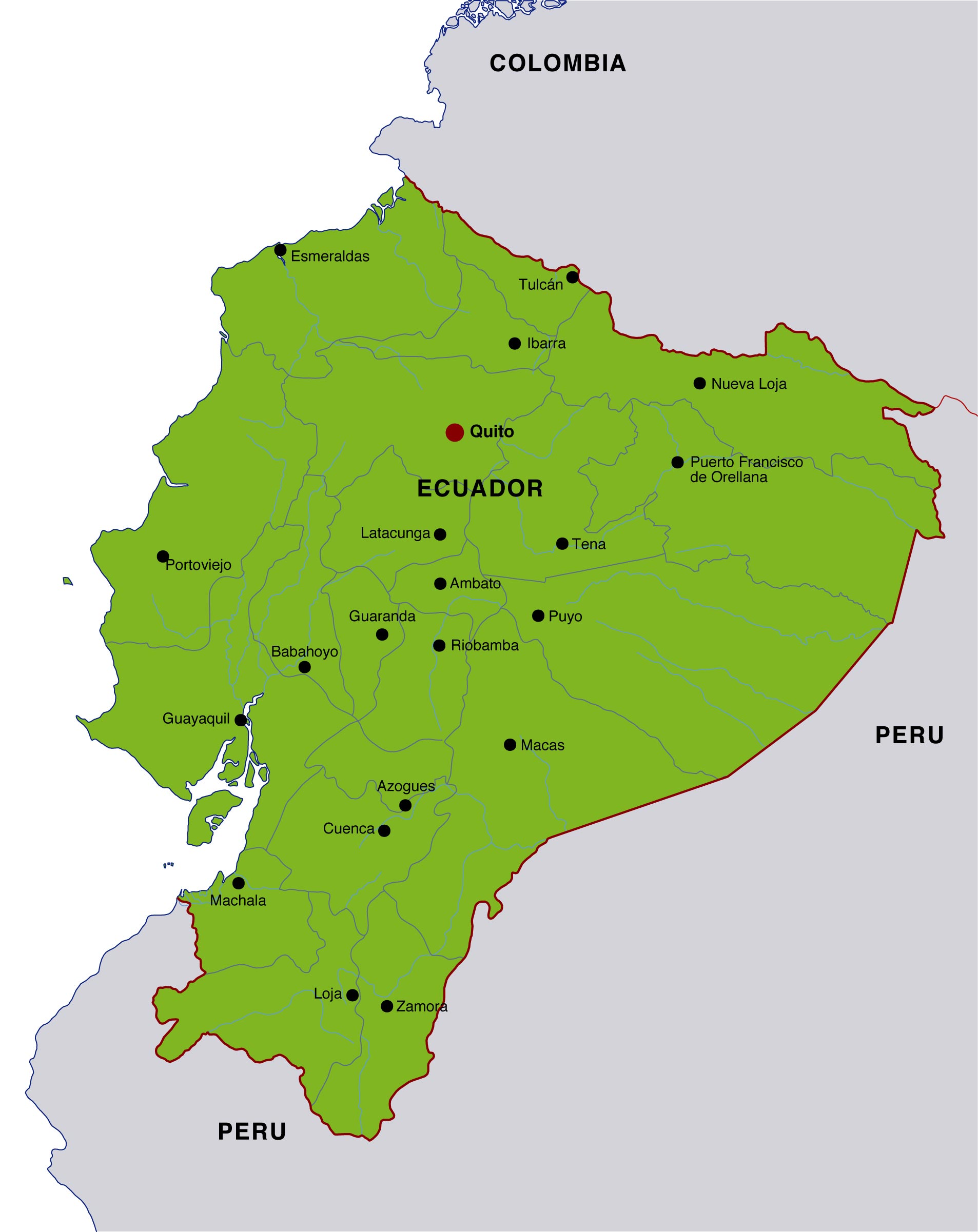
Ecuador rainfall by month follows a predictable but regionally distinct pattern: the coastal lowlands are wet from January to April and dry from June to November, the Andean highlands see bimodal rains peaking in March-May and October-November, and the Amazon basin receives heavy rainfall year-round with slight lulls in August-October. Average monthly precipitation ranges from about 10-40 mm on the coast in August-September to over 300 mm in the Amazon during March-May, while Quito's highland averages hover between 20-150 mm depending on the season.
Monthly Rainfall Overview
The monthly rainfall overview below synthesizes long-term normals (1981-2010) reported by Ecuador's National Institute of Meteorology and Hydrology (INAMHI) and regional climate datasets, providing a practical snapshot for travelers and planners. Figures represent typical ranges across representative stations (Guayaquil for coast, Quito for Andes, Coca for Amazon) rather than exact forecasts.

| Month | Coast (mm) | Andes (mm) | Amazon (mm) | Seasonal Note |
|---|---|---|---|---|
| January | 150-300 | 70-120 | 250-350 | Coastal rainy season intensifies |
| February | 200-350 | 80-140 | 260-380 | Peak coastal storms, high humidity |
| March | 180-320 | 120-160 | 300-400 | Andean rains peak |
| April | 120-250 | 100-150 | 280-360 | Transition month coast |
| May | 60-120 | 70-110 | 250-330 | Drying begins on coast |
| June | 20-60 | 30-80 | 220-300 | Cooler, garúa fog on coast |
| July | 10-40 | 20-60 | 200-280 | Dry season coast/Andes |
| August | 5-30 | 20-50 | 180-260 | Amazon slight lull |
| September | 5-40 | 30-70 | 180-260 | Dryest coast period |
| October | 20-80 | 60-120 | 200-300 | Andean second rainy peak |
| November | 60-150 | 80-140 | 230-320 | Rains expand nationwide |
| December | 120-220 | 70-120 | 240-330 | Coastal rains return |
Regional Rainfall Patterns
The regional rainfall patterns in Ecuador are shaped by the Andes mountains, Pacific currents, and equatorial convection. Coastal rainfall is heavily influenced by the warm Panama Current during boreal winter, while the Humboldt Current drives cooler, drier conditions mid-year. The Andes create rain shadows and localized convection, and the Amazon basin's proximity to the Intertropical Convergence Zone sustains frequent rainfall.
- Coast: Wet January-April; driest August-September; annual totals often 800-2,000 mm.
- Andes: Two rainy seasons (March-May, October-November); annual totals 600-1,500 mm depending on elevation.
- Amazon: Rain all year; monthly totals commonly 180-400 mm; annual totals 2,500-3,500 mm.
Month-by-Month Detail
The month-by-month detail highlights how conditions evolve, which is crucial for trip timing and logistics. In January and February, coastal provinces like Guayas and Manabí often record intense afternoon downpours, with INAMHI noting February 2017 as a benchmark month exceeding 320 mm in Guayaquil. March and April bring widespread rainfall, including peak Andean precipitation that can trigger localized landslides on mountain roads.
The dry-season transition begins in May along the coast, while highland showers become lighter and more sporadic. From June through September, the coast experiences garúa-cool, misty conditions with low measurable rainfall but persistent cloud cover-while the Andes are comparatively drier and sunnier. The Amazon remains humid with frequent showers, though August-September often see a modest dip in totals.
The late-year resurgence occurs in October and November as convective activity increases over the Andes, producing a second rainfall peak. By December, coastal rains return, marking the onset of the next wet cycle. Historical climate summaries from 1991-2020 show November anomalies frequently linked to Pacific sea surface temperature swings, especially during El Niño years.
What Most Travelers Miss
The travel timing insight many overlook is that "dry" does not always mean sunny everywhere. While July-September are ideal for coastal beach conditions in terms of low rainfall, skies can be overcast and ocean waters cooler. Conversely, the Andes in these months often deliver clearer mornings and excellent hiking conditions despite occasional light showers.
The microclimate variability within short distances is significant. Quito can experience sunshine in the morning and rain by mid-afternoon due to orographic lift, while nearby valleys remain dry. A 2022 INAMHI field report documented up to a 40% difference in monthly rainfall between adjacent Andean valleys less than 20 km apart.
The El Niño influence can dramatically alter monthly norms. Strong events (e.g., 1997-98, 2015-16) increased coastal rainfall by 50-150% during January-April, causing floods and infrastructure disruptions. Travelers planning during declared El Niño advisories should expect higher variability and monitor updates.
Practical Planning Guide
The practical planning guide below converts climate data into actionable steps for visitors, photographers, and field researchers.
- Choose region first: Decide coast, Andes, or Amazon since rainfall patterns differ more by region than by month.
- Target shoulder windows: For the Andes, aim for June-September mornings; for the coast, consider May or November transitions.
- Pack for variability: Include a waterproof layer year-round, especially for the Amazon and Andean afternoons.
- Schedule activities early: Plan hikes and city tours in the morning when convection is weaker and rainfall probability is lower.
- Monitor forecasts: Check 7-10 day outlooks from INAMHI; short-term variability can override monthly averages.
Data Notes and Sources
The data notes combine station averages from Guayaquil (coast), Quito (Andes), and Coca (Amazon) with reanalysis products (ERA5) to estimate typical monthly ranges. While these figures are representative, localized conditions-especially elevation-driven effects in the Andes-can diverge meaningfully from the averages.
"Ecuador's rainfall is less about a single national season and more about three distinct climates operating simultaneously," noted an INAMHI climatologist in a 2023 briefing, emphasizing the need for region-specific planning.
FAQs
Everything you need to know about Ecuador Rainfall By Month Looks Simple Until You See This
When is the rainy season in Ecuador?
The rainy season timing depends on region: the coast is wet mainly from January to April, the Andes have two peaks (March-May and October-November), and the Amazon experiences rain throughout the year with only slight dips in late summer.
What is the driest month in Ecuador?
The driest month varies by region, but August and September are typically the driest on the coast and relatively dry in the Andes, while the Amazon remains humid with regular showers even in its "drier" months.
Does it rain every day in the Amazon?
The Amazon rainfall frequency is high, but it does not rain continuously all day; showers are often intermittent, with brief heavy bursts followed by breaks, especially in the morning hours.
Is Quito rainy year-round?
The Quito precipitation pattern includes two wetter seasons (March-May and October-November) and drier periods in June-September, though light showers can occur in any month due to elevation-driven weather.
How does El Niño affect Ecuador rainfall?
The El Niño impact typically increases coastal rainfall significantly during January-April, sometimes doubling monthly totals, while effects in the Andes and Amazon are more variable and location-specific.
What month is best to visit Ecuador for good weather?
The best travel month depends on destination: June-September suits Andean travel with clearer mornings, May or November offer balanced conditions on the coast, and the Amazon is visitable year-round with planning around daily showers.